
West Darfur State topographic map
Interactive map
Click on the map to display elevation.
About this map
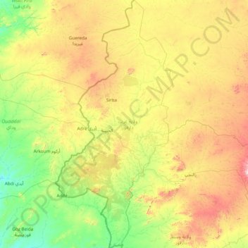
Name: West Darfur State topographic map, elevation, terrain.
Location: West Darfur State, Sudan (12.03010 21.81450 14.99208 23.22651)
Average elevation: 849 m
Minimum elevation: 496 m
Maximum elevation: 1,954 m