
Tengzhou City topographic map
Interactive map
Click on the map to display elevation.
About this map
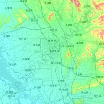
Name: Tengzhou City topographic map, elevation, terrain.
Location: Tengzhou City, Zaozhuang City, Shandong, 277599, China (34.82037 116.80917 35.29972 117.40450)
Average elevation: 88 m
Minimum elevation: 26 m
Maximum elevation: 585 m
Tengzhou is located in the Huanghuai Plains of Shandong, and has a minimum elevation of 33.5 metres (110 ft), and a maximum elevation of 596.6 metres (1,957 ft).