
West Bangor topographic map
Interactive map
Click on the map to display elevation.
About this map
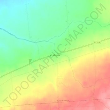
Name: West Bangor topographic map, elevation, terrain.
Location: West Bangor, Franklin County, New York, 12966, United States (44.78422 -74.45379 44.82422 -74.41379)
Average elevation: 232 m
Minimum elevation: 176 m
Maximum elevation: 296 m