
Masohi topographic map
Interactive map
Click on the map to display elevation.
About this map
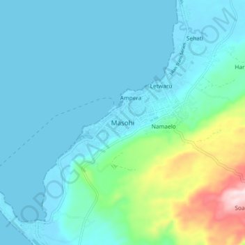
Name: Masohi topographic map, elevation, terrain.
Location: Masohi, Maluku, 97511, Indonesia (-3.34627 128.91302 -3.26627 128.99302)
Average elevation: 67 m
Minimum elevation: -1 m
Maximum elevation: 415 m