
Semenyih topographic map
Interactive map
Click on the map to display elevation.
About this map
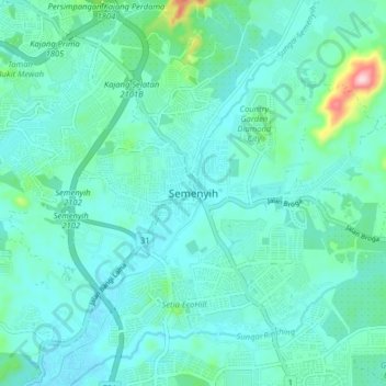
Name: Semenyih topographic map, elevation, terrain.
Average elevation: 62 m
Minimum elevation: 20 m
Maximum elevation: 297 m
Other topographic maps
Click on a map to view its topography, its elevation and its terrain.
Bandar Baru Bangi
Malaysia > Selangor > Kajang Municipal Council
Bandar Baru Bangi, Kajang Municipal Council, Hulu Langat, Selangor, Malaysia
Average elevation: 42 m