
Victoria topographic map
Interactive map
Click on the map to display elevation.
About this map
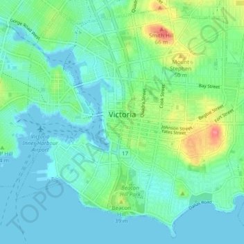
Name: Victoria topographic map, elevation, terrain.
Average elevation: 17 m
Minimum elevation: -1 m
Maximum elevation: 75 m
Other topographic maps
Click on a map to view its topography, its elevation and its terrain.
Seashell Park
Canada > British Columbia > Capital Regional District > Colwood
Seashell Park, Colwood, Capital Regional District, British Columbia, Canada
Average elevation: 62 m