
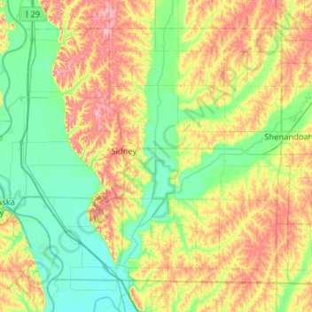
Fremont County topographic map
Interactive map
Click on the map to display elevation.
About this map
Name: Fremont County topographic map, elevation, terrain.
Location: Fremont County, Iowa, United States (40.58050 -95.88891 40.90234 -95.37067)
Average elevation: 314 m
Minimum elevation: 274 m
Maximum elevation: 388 m