
Indre Østfold topographic map
Interactive map
Click on the map to display elevation.
About this map
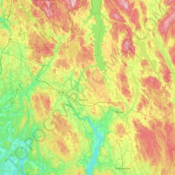
Name: Indre Østfold topographic map, elevation, terrain.
Location: Indre Østfold, Viken, Norway (59.45014 10.77135 59.77026 11.55100)
Average elevation: 148 m
Minimum elevation: 19 m
Maximum elevation: 363 m
Other topographic maps
Click on a map to view its topography, its elevation and its terrain.