
Martin County topographic map
Interactive map
Click on the map to display elevation.
About this map
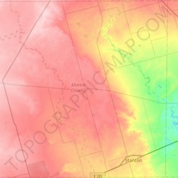
Name: Martin County topographic map, elevation, terrain.
Location: Martin County, Texas, United States (32.08676 -102.21115 32.52522 -101.68849)
Average elevation: 839 m
Minimum elevation: 742 m
Maximum elevation: 905 m