
Gudvangen topographic map
Interactive map
Click on the map to display elevation.
About this map
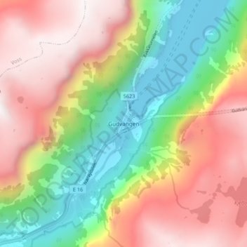
Name: Gudvangen topographic map, elevation, terrain.
Location: Gudvangen, Aurland, Sogn og Fjordane, 5747, Norway (60.85911 6.81963 60.89911 6.85963)
Average elevation: 720 m
Minimum elevation: 0 m
Maximum elevation: 1,477 m