
Shibuya topographic map
Interactive map
Click on the map to display elevation.
About this map
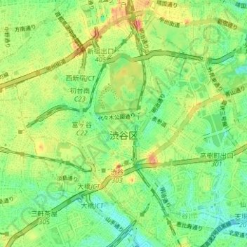
Name: Shibuya topographic map, elevation, terrain.
Location: Shibuya, Tokyo, Kanto, Japan (35.64149 139.66159 35.69214 139.72393)
Average elevation: 36 m
Minimum elevation: 9 m
Maximum elevation: 75 m
Other topographic maps
Click on a map to view its topography, its elevation and its terrain.
Smith Island
Smith Island, Hachijō Subprefecture, Tokyo, Kanto, Japan
Average elevation: 0 m