
Shanghaï topographic map
Interactive map
Click on the map to display elevation.
About this map
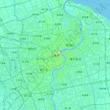
Name: Shanghaï topographic map, elevation, terrain.
Location: Shanghaï, District de Huangpu, Shanghai, 200001, Chine (31.07234 121.30910 31.39234 121.62910)
Average elevation: 5 m
Minimum elevation: -6 m
Maximum elevation: 40 m
Other topographic maps
Click on a map to view its topography, its elevation and its terrain.