
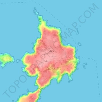
Sark topographic map
Interactive map
Click on the map to display elevation.
About this map
Name: Sark topographic map, elevation, terrain.
Location: Sark, GY10 1SF, Guernsey (49.41516 -2.37960 49.45516 -2.33960)
Average elevation: 18 m
Minimum elevation: 0 m
Maximum elevation: 106 m