
Goose Creek topographic map
Interactive map
Click on the map to display elevation.
About this map
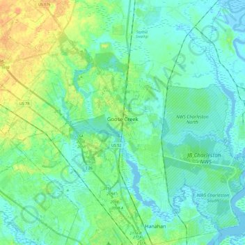
Name: Goose Creek topographic map, elevation, terrain.
Location: Goose Creek, Berkeley County, South Carolina, United States (32.91004 -80.14456 33.07648 -79.92078)
Average elevation: 8 m
Minimum elevation: -5 m
Maximum elevation: 29 m