
Lake Orion topographic map
Interactive map
Click on the map to display elevation.
About this map
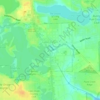
Name: Lake Orion topographic map, elevation, terrain.
Location: Lake Orion, Oakland County, Michigan, 48362, United States (42.77472 -83.25995 42.78982 -83.22865)
Average elevation: 303 m
Minimum elevation: 290 m
Maximum elevation: 320 m