
Oberhausen topographic map
Interactive map
Click on the map to display elevation.
About this map
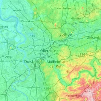
Name: Oberhausen topographic map, elevation, terrain.
Average elevation: 59 m
Minimum elevation: 12 m
Maximum elevation: 271 m
Other topographic maps
Click on a map to view its topography, its elevation and its terrain.
Sterkrade
Deutschland > Nordrhein-Westfalen > Oberhausen
Sterkrade, Oberhausen, Nordrhein-Westfalen, Deutschland
Average elevation: 49 m