
Jinja topographic map
Interactive map
Click on the map to display elevation.
About this map
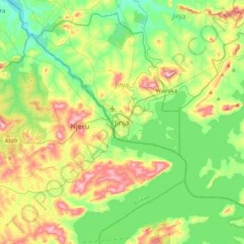
Name: Jinja topographic map, elevation, terrain.
Location: Jinja, Eastern Region, 123, Uganda (0.27530 33.04556 0.59530 33.36556)
Average elevation: 1,170 m
Minimum elevation: 1,069 m
Maximum elevation: 1,367 m