
Pithabata topographic map
Interactive map
Click on the map to display elevation.
About this map
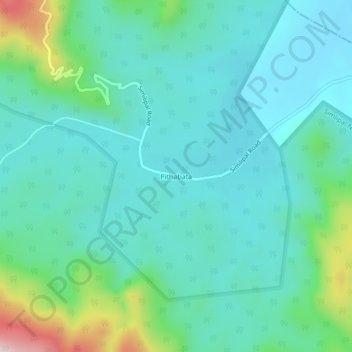
Name: Pithabata topographic map, elevation, terrain.
Location: Pithabata, Mayūrbhanj, Mayurbhanj, Odisha, India (21.92041 86.55798 21.96041 86.59798)
Average elevation: 173 m
Minimum elevation: 88 m
Maximum elevation: 502 m