
Abbeville topographic map
Interactive map
Click on the map to display elevation.
About this map
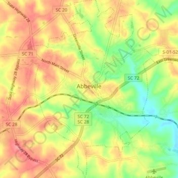
Name: Abbeville topographic map, elevation, terrain.
Location: Abbeville, Abbeville County, South Carolina, USA (34.14880 -82.40660 34.20527 -82.34614)
Average elevation: 174 m
Minimum elevation: 130 m
Maximum elevation: 210 m