
Ban Kata topographic map
Interactive map
Click on the map to display elevation.
About this map
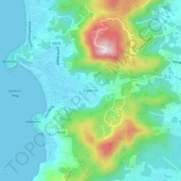
Name: Ban Kata topographic map, elevation, terrain.
Location: Ban Kata, Phuket Province, 83100, Thailand (7.79885 98.28880 7.83885 98.32880)
Average elevation: 88 m
Minimum elevation: 0 m
Maximum elevation: 371 m