
Le Monêtier-les-Bains topographic map
Interactive map
Click on the map to display elevation.
About this map
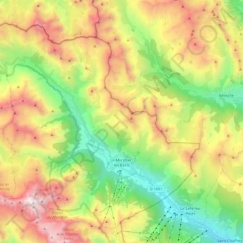
Name: Le Monêtier-les-Bains topographic map, elevation, terrain.
Average elevation: 2,289 m
Minimum elevation: 1,326 m
Maximum elevation: 3,601 m