
Norton County topographic map
Interactive map
Click on the map to display elevation.
About this map
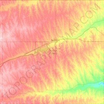
Name: Norton County topographic map, elevation, terrain.
Location: Norton County, Kansas, USA (39.56652 -100.18141 40.00189 -99.62531)
Average elevation: 719 m
Minimum elevation: 602 m
Maximum elevation: 810 m
Other topographic maps
Click on a map to view its topography, its elevation and its terrain.