
下寨 topographic map
Interactive map
Click on the map to display elevation.
About this map
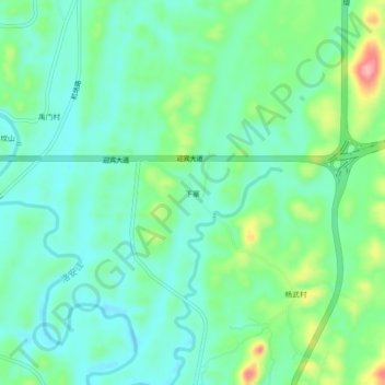
Name: 下寨 topographic map, elevation, terrain.
Location: 下寨, 播州区, Zunyi, Guizhou, China (27.74731 107.21346 27.78731 107.25346)
Average elevation: 807 m
Minimum elevation: 771 m
Maximum elevation: 902 m