
Ehlange-sur-Mess topographic map
Interactive map
Click on the map to display elevation.
About this map
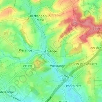
Name: Ehlange-sur-Mess topographic map, elevation, terrain.
Location: Ehlange-sur-Mess, Canton Esch-sur-Alzette, 3960, Luxembourg (49.52814 5.99568 49.56814 6.03568)
Average elevation: 312 m
Minimum elevation: 279 m
Maximum elevation: 361 m