
Pigeon topographic map
Interactive map
Click on the map to display elevation.
About this map
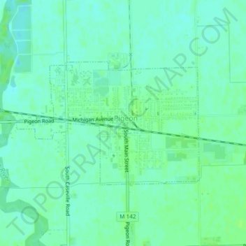
Name: Pigeon topographic map, elevation, terrain.
Location: Pigeon, Huron County, Michigan, USA (43.82267 -83.28708 43.83617 -83.25930)
Average elevation: 191 m
Minimum elevation: 186 m
Maximum elevation: 195 m