
Schiphol topographic map
Interactive map
Click on the map to display elevation.
About this map
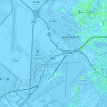
Name: Schiphol topographic map, elevation, terrain.
Location: Schiphol, Haarlemmermeer, Nordholland, Niederlande (52.28294 4.70592 52.36801 4.81708)
Average elevation: -2 m
Minimum elevation: -8 m
Maximum elevation: 11 m