
El Tarf topographic map
Interactive map
Click on the map to display elevation.
About this map
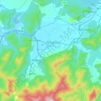
Name: El Tarf topographic map, elevation, terrain.
Location: El Tarf, El Tarf District, El Tarf, Algeria (36.67629 8.22094 36.83219 8.37997)
Average elevation: 144 m
Minimum elevation: 14 m
Maximum elevation: 652 m