
Central City topographic map
Interactive map
Click on the map to display elevation.
About this map
Name: Central City topographic map, elevation, terrain.
Average elevation: 11 m
Minimum elevation: 6 m
Maximum elevation: 18 m
Other topographic maps
Click on a map to view its topography, its elevation and its terrain.
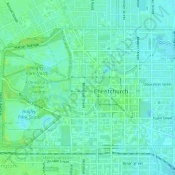
Christchurch
New Zealand > Canterbury > Christchurch
Christchurch, Canterbury, New Zealand
Average elevation: 41 m