
Harleston topographic map
Interactive map
Click on the map to display elevation.
About this map
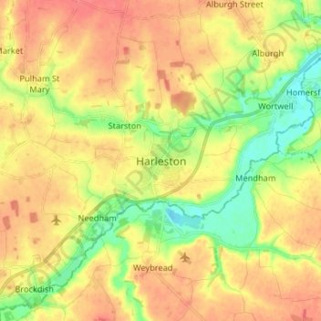
Name: Harleston topographic map, elevation, terrain.
Average elevation: 37 m
Minimum elevation: 9 m
Maximum elevation: 58 m
Other topographic maps
Click on a map to view its topography, its elevation and its terrain.
Lushbush
United Kingdom > England > Norfolk > South Norfolk > Harleston
Lushbush, Redenhall with Harleston, Harleston, South Norfolk, Norfolk, England, IP20 9QN, United Kingdom
Average elevation: 33 m