
Bihor topographic map
Interactive map
Click on the map to display elevation.
About this map
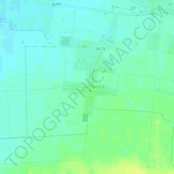
Name: Bihor topographic map, elevation, terrain.
Location: Palota, Bihor, 417516, Romania (47.05518 21.81603 47.06629 21.82813)
Average elevation: 112 m
Minimum elevation: 106 m
Maximum elevation: 121 m
Other topographic maps
Click on a map to view its topography, its elevation and its terrain.
Piatra Fântânele
Piatra Fântânele, Bistrița-Năsăud, 427363, Romania
Average elevation: 1,080 m
Retezat National Park
Retezat National Park, Hunedoara, Romania
Average elevation: 1,443 m