
Île Saint-Barnabé topographic map
Interactive map
Click on the map to display elevation.
About this map
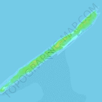
Name: Île Saint-Barnabé topographic map, elevation, terrain.
Average elevation: 1 m
Minimum elevation: 0 m
Maximum elevation: 13 m
Other topographic maps
Click on a map to view its topography, its elevation and its terrain.
Île du Bic
Île du Bic, Rimouski, Rimouski-Neigette, Bas-Saint-Laurent, Québec, Canada
Average elevation: 6 m