
Shantipur topographic map
Interactive map
Click on the map to display elevation.
About this map
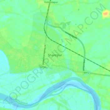
Name: Shantipur topographic map, elevation, terrain.
Location: Shantipur, Nadia, West Bengal, 741404, India (23.20640 88.40370 23.28640 88.48370)
Average elevation: 11 m
Minimum elevation: 3 m
Maximum elevation: 28 m