
Temotu Province topographic map
Interactive map
Click on the map to display elevation.
About this map
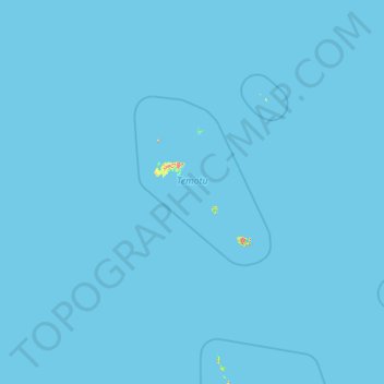
Name: Temotu Province topographic map, elevation, terrain.
Location: Temotu Province, Solomon Islands (-12.50868 165.49190 -9.55514 170.39647)
Average elevation: 0 m
Minimum elevation: 0 m
Maximum elevation: 744 m