
Windorf topographic map
Interactive map
Click on the map to display elevation.
About this map
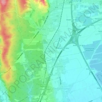
Name: Windorf topographic map, elevation, terrain.
Location: Windorf, Graz-Umgebung, Styria, 8141, Austria (46.97189 15.37563 47.01189 15.41563)
Average elevation: 357 m
Minimum elevation: 327 m
Maximum elevation: 441 m