
Medan Kota topographic map
Interactive map
Click on the map to display elevation.
About this map
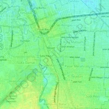
Name: Medan Kota topographic map, elevation, terrain.
Location: Medan Kota, City of Medan, North Sumatra, Indonesia (3.55253 98.68188 3.59364 98.70961)
Average elevation: 28 m
Minimum elevation: 20 m
Maximum elevation: 36 m
Other topographic maps
Click on a map to view its topography, its elevation and its terrain.
Medan Baru
Indonesia > North Sumatra > City of Medan
Medan Baru, City of Medan, North Sumatra, Indonesia
Average elevation: 29 m