
Tras topographic map
Interactive map
Click on the map to display elevation.
About this map
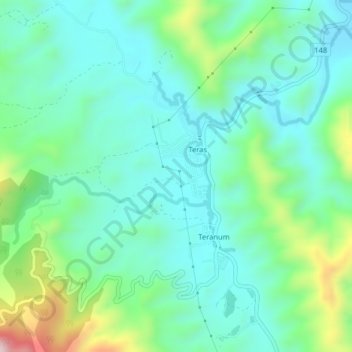
Name: Tras topographic map, elevation, terrain.
Location: Tras, Pahang, Malaysia (3.71717 101.78706 3.75717 101.82706)
Average elevation: 272 m
Minimum elevation: 159 m
Maximum elevation: 620 m