
Gengma topographic map
Interactive map
Click on the map to display elevation.
About this map
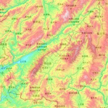
Name: Gengma topographic map, elevation, terrain.
Location: Gengma, Lincang, Yunnan, PRC (23.00119 98.84361 24.28119 100.12361)
Average elevation: 1,524 m
Minimum elevation: 466 m
Maximum elevation: 3,464 m