
Cashan topographic map
Interactive map
Click on the map to display elevation.
About this map
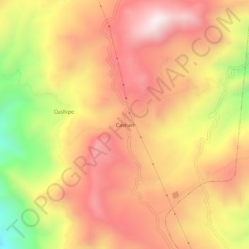
Name: Cashan topographic map, elevation, terrain.
Location: Cashan, Santiago de Chuco, La Libertad, Perú (-8.16735 -78.12291 -8.12735 -78.08291)
Average elevation: 3,373 m
Minimum elevation: 2,851 m
Maximum elevation: 3,710 m