
Pulau Hantu topographic map
Interactive map
Click on the map to display elevation.
About this map
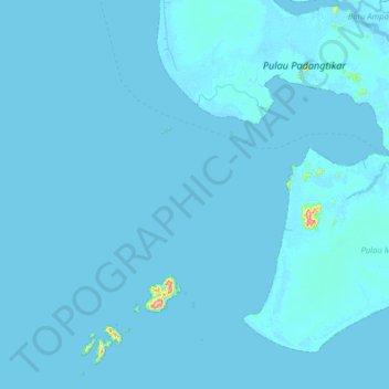
Name: Pulau Hantu topographic map, elevation, terrain.
Location: Pulau Hantu, Bangka-Belitung Islands, Indonesia (-1.37000 108.98000 -0.73000 109.62000)
Average elevation: 4 m
Minimum elevation: -1 m
Maximum elevation: 480 m
Other topographic maps
Click on a map to view its topography, its elevation and its terrain.
Pulau Cebia
Indonesia > Bangka-Belitung Islands
Pulau Cebia, Bangka-Belitung Islands, Indonesia
Average elevation: 0 m