
Ulysses topographic map
Interactive map
Click on the map to display elevation.
About this map
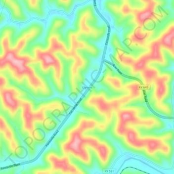
Name: Ulysses topographic map, elevation, terrain.
Location: Ulysses, Lawrence County, Kentucky, 41264, USA (37.92593 -82.69349 37.96593 -82.65349)
Average elevation: 238 m
Minimum elevation: 166 m
Maximum elevation: 328 m