
Jojoima topographic map
Interactive map
Click on the map to display elevation.
About this map
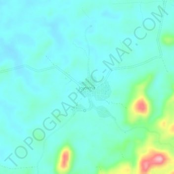
Name: Jojoima topographic map, elevation, terrain.
Location: Jojoima, Kailahun District, Eastern Province, Sierra Leone (7.85842 -10.80965 7.89842 -10.76965)
Average elevation: 201 m
Minimum elevation: 173 m
Maximum elevation: 331 m