
La Gi topographic map
Interactive map
Click on the map to display elevation.
About this map
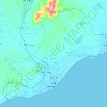
Name: La Gi topographic map, elevation, terrain.
Location: La Gi, Binh Thuan province, Vietnam (10.63104 107.68306 10.79676 107.88643)
Average elevation: 39 m
Minimum elevation: -1 m
Maximum elevation: 554 m