
Yellowstone County topographic map
Interactive map
Click on the map to display elevation.
About this map
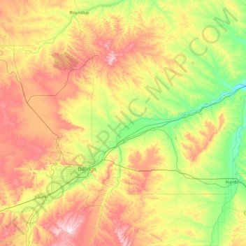
Name: Yellowstone County topographic map, elevation, terrain.
Location: Yellowstone County, Montana, United States (45.46131 -108.92566 46.49612 -107.46292)
Average elevation: 1,067 m
Minimum elevation: 831 m
Maximum elevation: 1,512 m
Other topographic maps
Click on a map to view its topography, its elevation and its terrain.
Cascade County
Cascade County, Montana, United States
Average elevation: 1,370 m
Flathead County
Flathead County, Montana, United States
Average elevation: 1,497 m