
Thank you for supporting this site ❤️
Make a donation
Make a donation
Spáafelli topographic map
Click on the map to display elevation.
Thank you for supporting this site ❤️
Make a donation
Make a donation
About this map
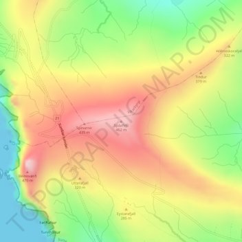
Name: Spáafelli topographic map, elevation, terrain.
Location: Spáafelli, Sumba, Suðuroyar sýsla, 970, Færøerne (61.42581 -6.73894 61.42591 -6.73884)
Average elevation: 244 m
Minimum elevation: 0 m
Maximum elevation: 482 m
Thank you for supporting this site ❤️
Make a donation
Make a donation