
Omeo topographic map
Click on the map to display elevation.
Omeo
There are bus routes from Bright and Bairnsdale. The Bairnsdale bus runs weekdays, once both directions, and the Bright bus (Alps Link) timetable is less frequent in Summer and runs additional services during the ski season. Alps Link is the highest altitude public bus in Australia. The town sits at the junction of the Omeo Highway and the Great Alpine Road.
About this map
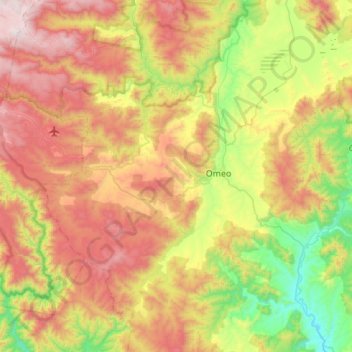
Name: Omeo topographic map, elevation, terrain.
Location: Omeo, Shire of East Gippsland, Victoria, 3898, Australia (-37.24983 147.32872 -36.95838 147.86241)
Average elevation: 861 m
Minimum elevation: 271 m
Maximum elevation: 1,660 m
Other topographic maps
Click on a map to view its topography, its elevation and its terrain.