
Thank you for supporting this site ❤️
Make a donation
Make a donation
Taşoluk topographic map
Click on the map to display elevation.
Thank you for supporting this site ❤️
Make a donation
Make a donation
About this map
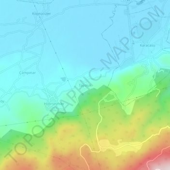
Name: Taşoluk topographic map, elevation, terrain.
Location: Taşoluk, Bolu, Région de la mer Noire, Turquie (40.65967 31.58556 40.69967 31.62556)
Average elevation: 823 m
Minimum elevation: 707 m
Maximum elevation: 1,192 m
Thank you for supporting this site ❤️
Make a donation
Make a donation