
Thank you for supporting this site ❤️
Make a donation
Make a donation
Velić topographic map
Click on the map to display elevation.
Thank you for supporting this site ❤️
Make a donation
Make a donation
About this map
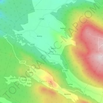
Name: Velić topographic map, elevation, terrain.
Location: Velić, Сплитско-Далматинская жупания, 21242, Хорватия (43.60019 16.77966 43.64019 16.81966)
Average elevation: 549 m
Minimum elevation: 360 m
Maximum elevation: 822 m
Thank you for supporting this site ❤️
Make a donation
Make a donation