
Aigle topographic map
Interactive map
Click on the map to display elevation.
About this map
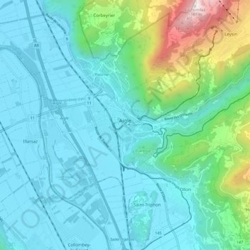
Name: Aigle topographic map, elevation, terrain.
Location: Aigle, District d'Aigle, Vaud, 1860, Switzerland (46.29131 6.93177 46.34167 7.04028)
Average elevation: 647 m
Minimum elevation: 371 m
Maximum elevation: 1,948 m
Aigle lies at an elevation of 415 m (1,362 ft) about 13 km (8.1 mi) south-southeast of Montreux. It is on the east edge of the Rhône valley, at the foot of the Swiss Alps.