
Iganga topographic map
Interactive map
Click on the map to display elevation.
About this map
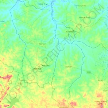
Name: Iganga topographic map, elevation, terrain.
Location: Iganga, Eastern Region, Uganda (0.44510 33.36130 0.91091 33.68414)
Average elevation: 1,114 m
Minimum elevation: 1,046 m
Maximum elevation: 1,343 m