
Thank you for supporting this site ❤️
Make a donation
Make a donation
Jijel topographic map
Click on the map to display elevation.
Thank you for supporting this site ❤️
Make a donation
Make a donation
About this map
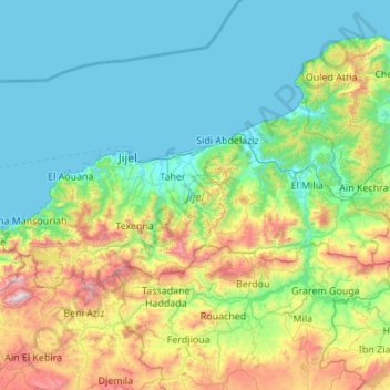
Name: Jijel topographic map, elevation, terrain.
Location: Jijel, Algeria (36.51878 5.41982 36.93974 6.51053)
Average elevation: 391 m
Minimum elevation: -1 m
Maximum elevation: 1,988 m
Thank you for supporting this site ❤️
Make a donation
Make a donation
Other topographic maps
Click on a map to view its topography, its elevation and its terrain.